THE FALL LINE | 2025 -
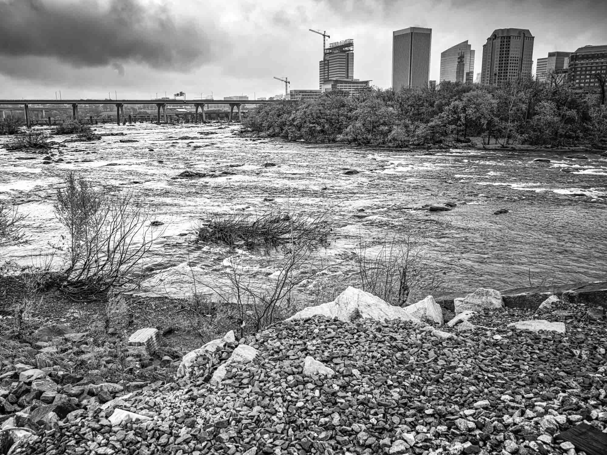
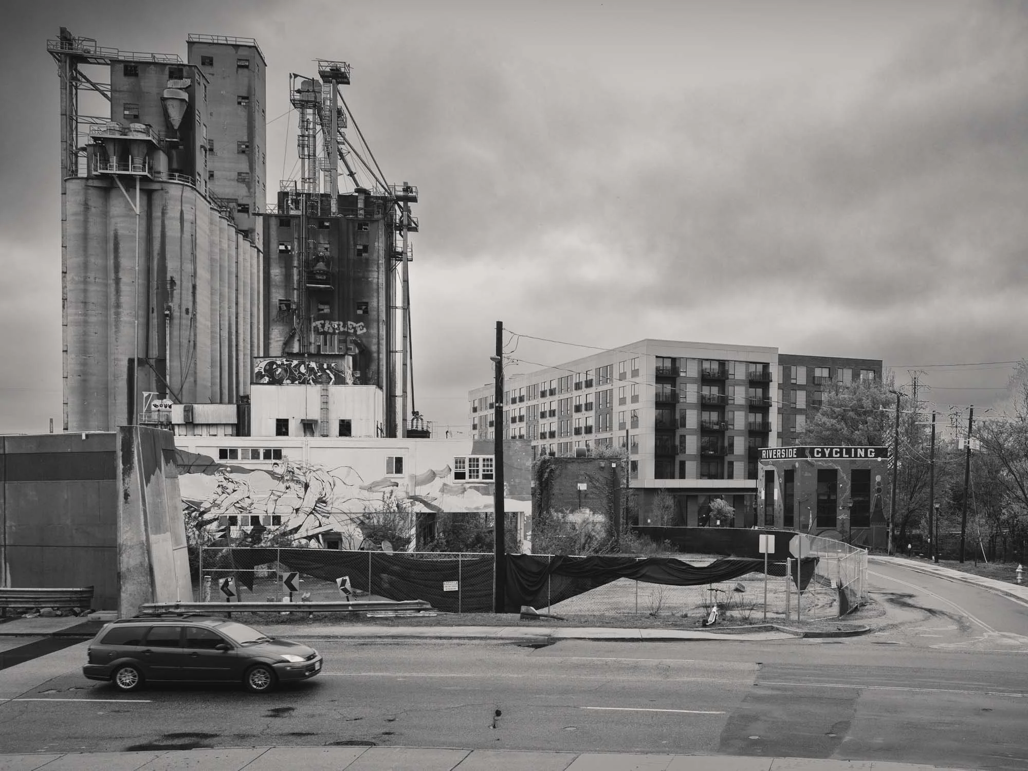
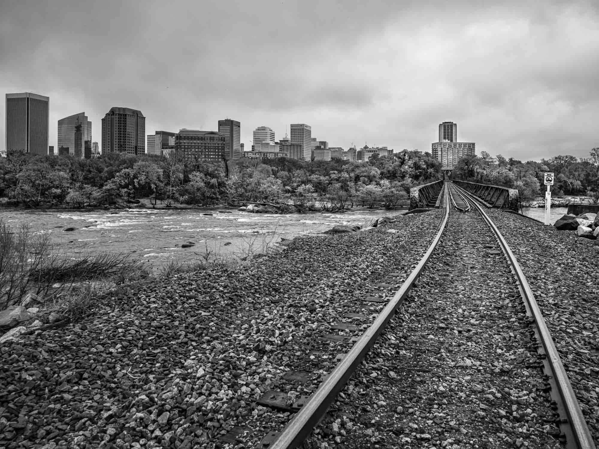
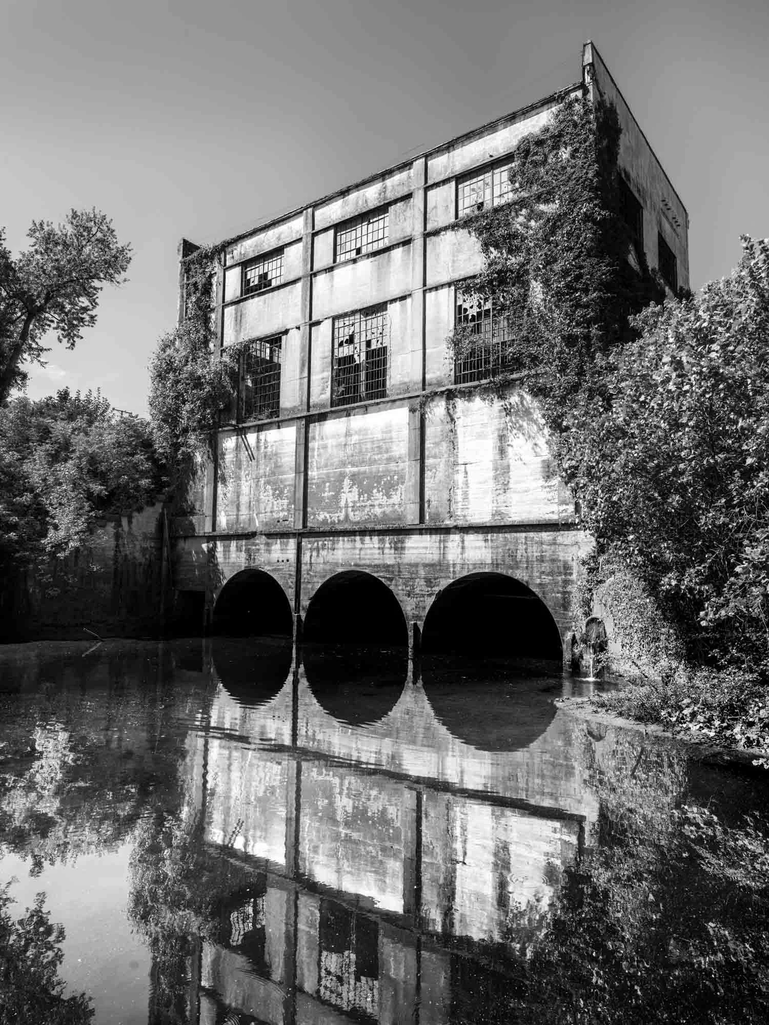
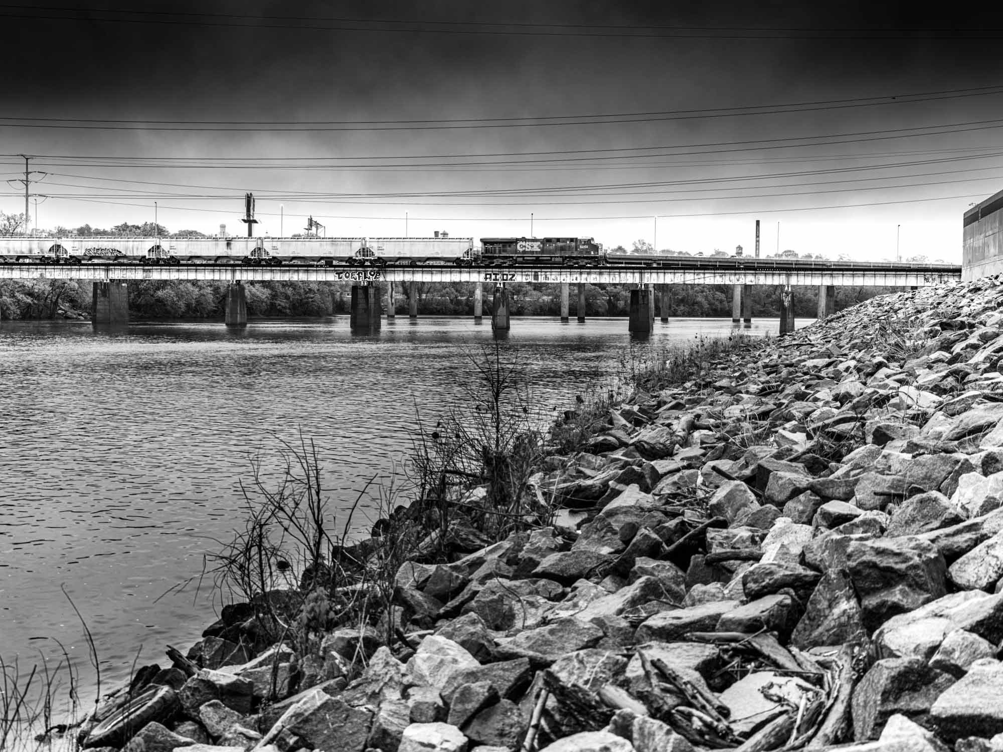
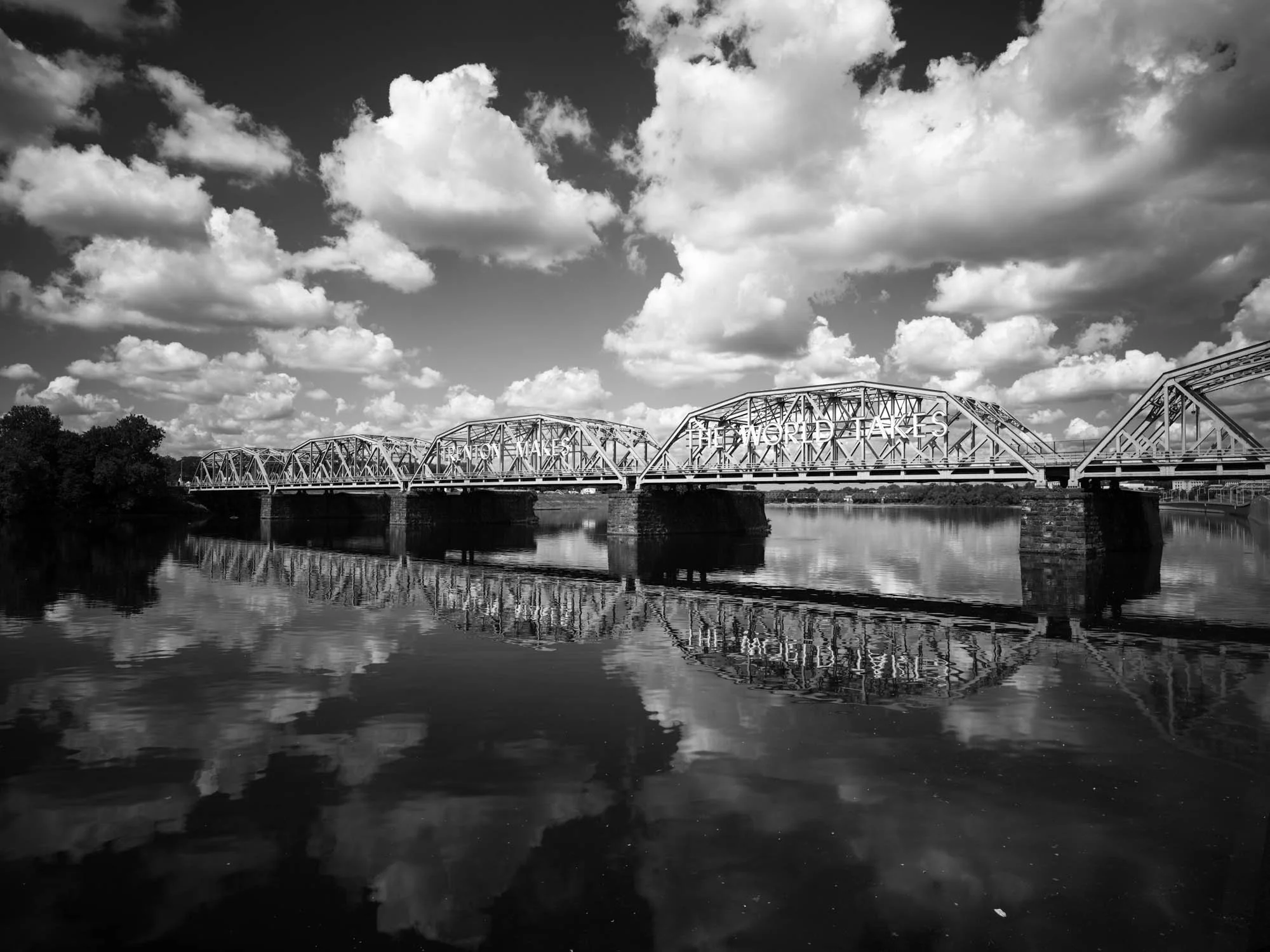
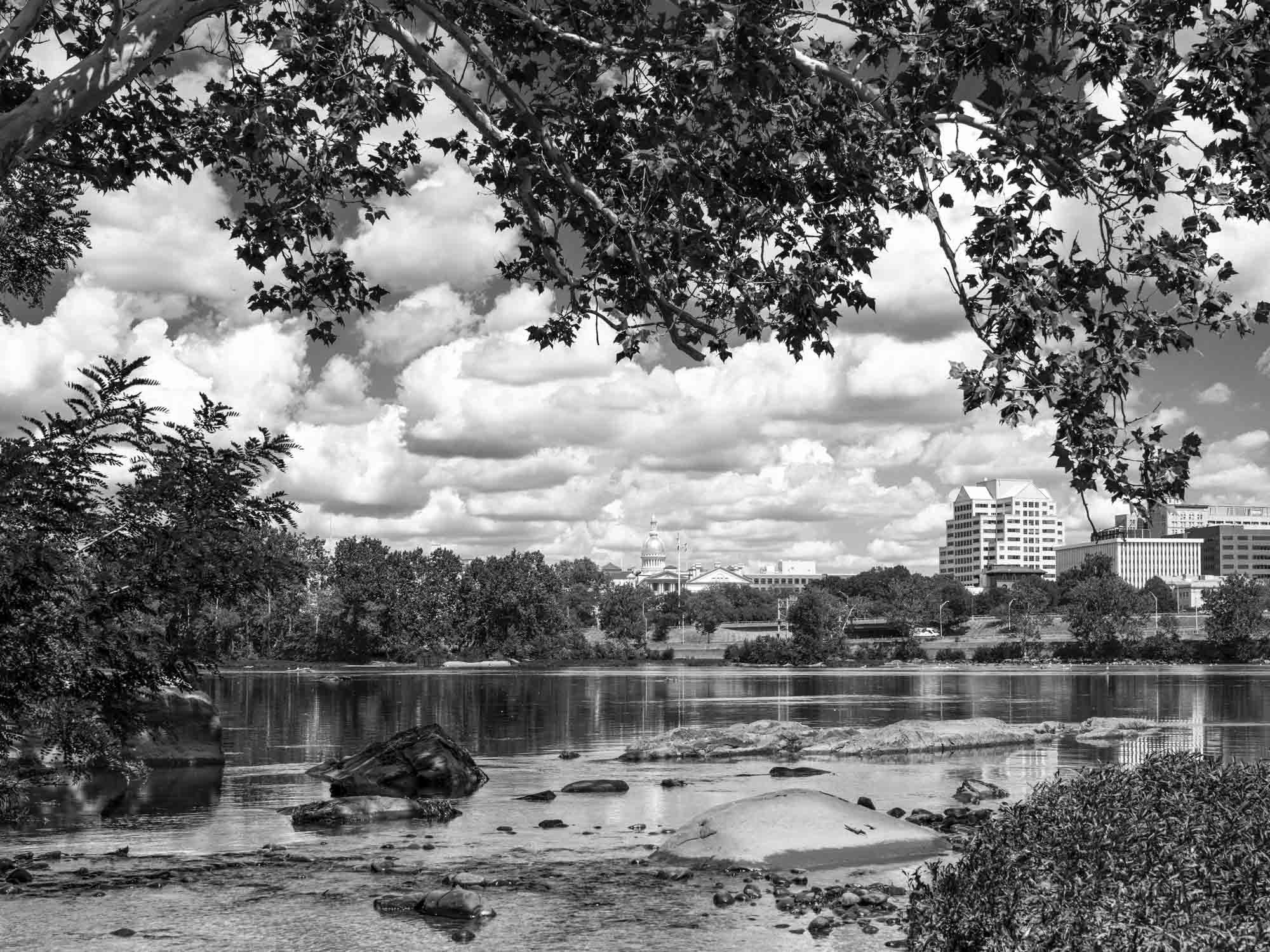
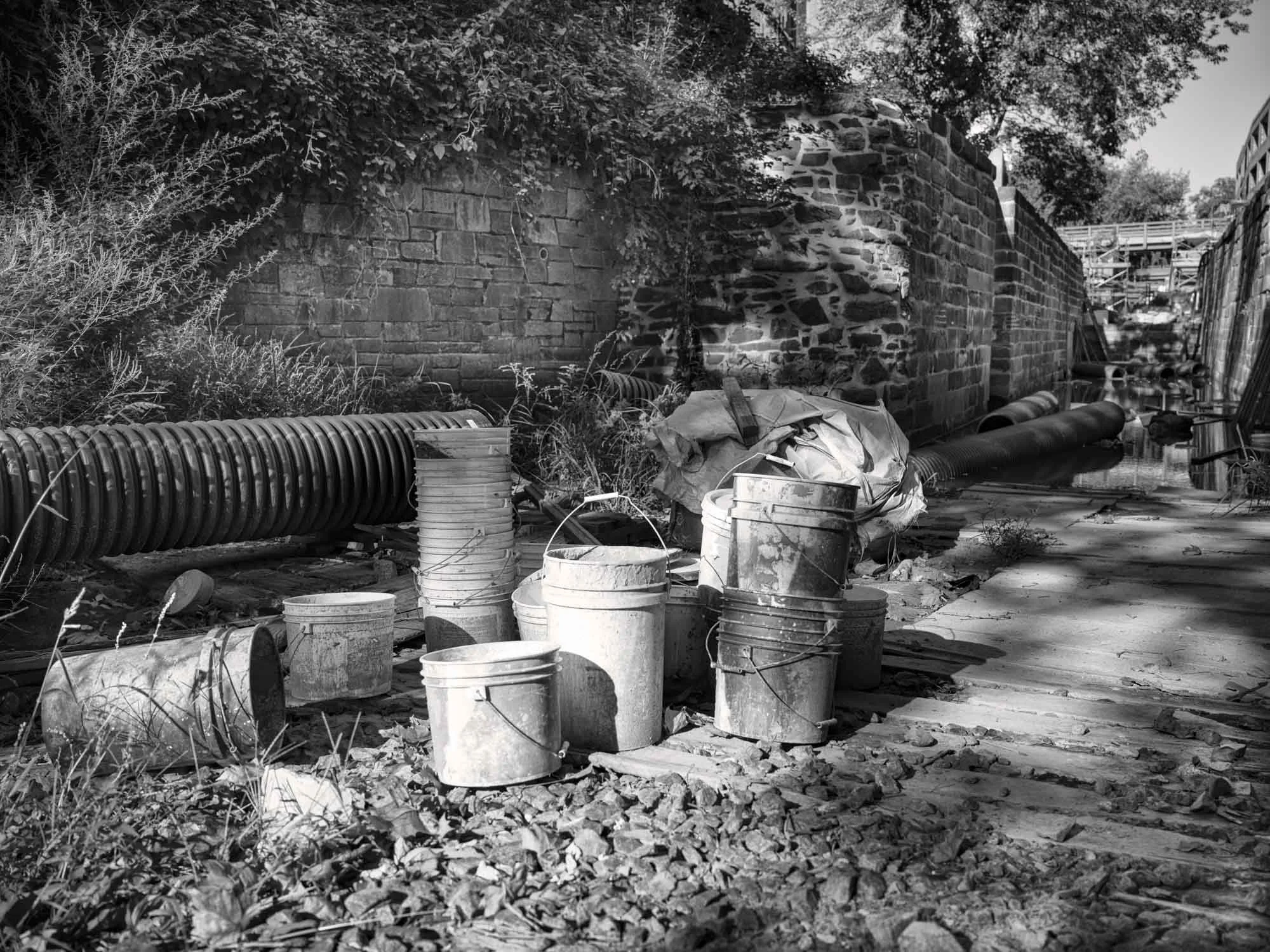
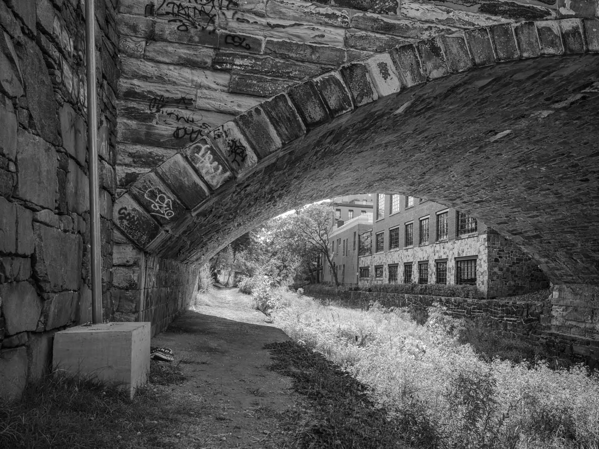
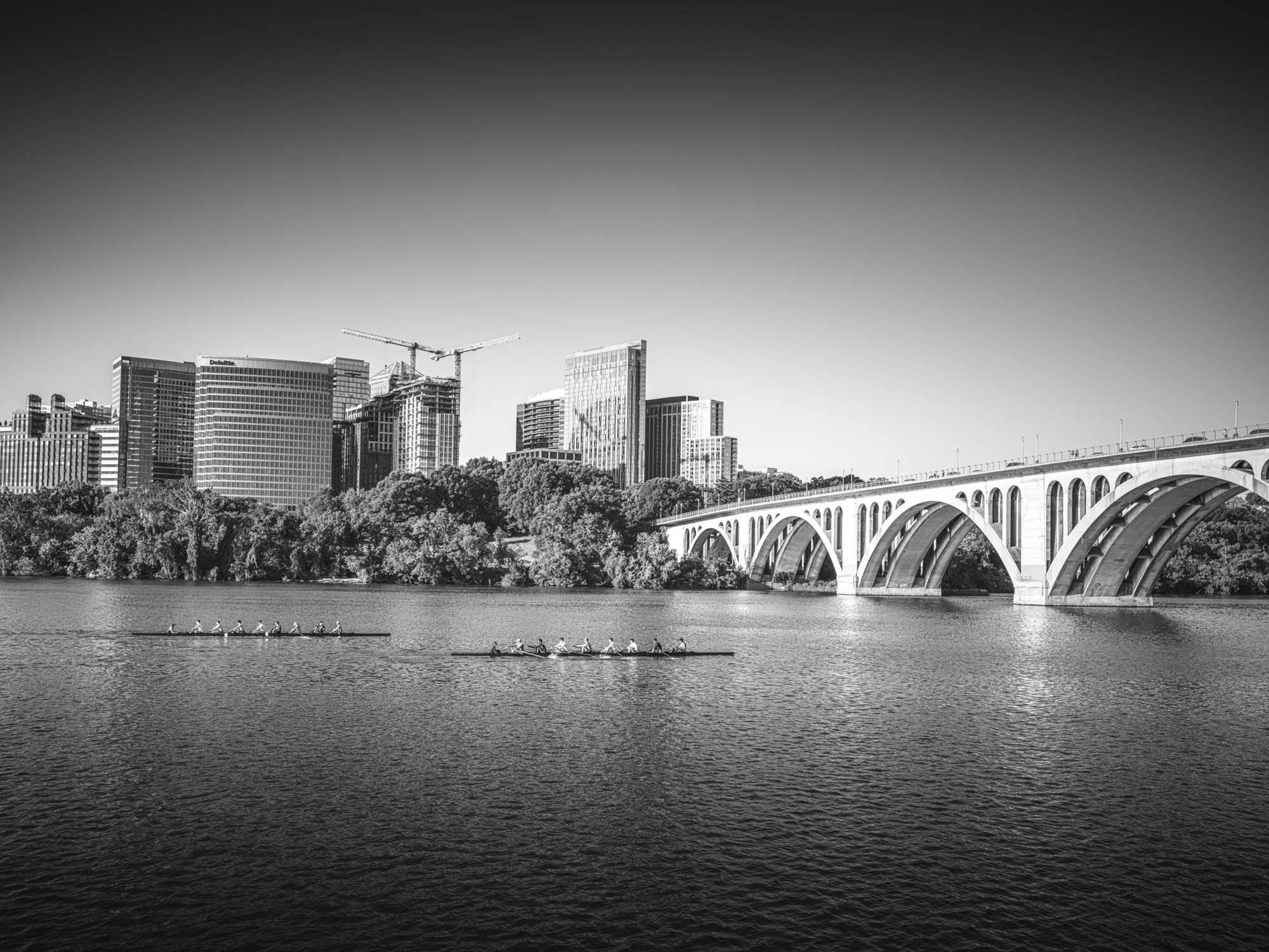
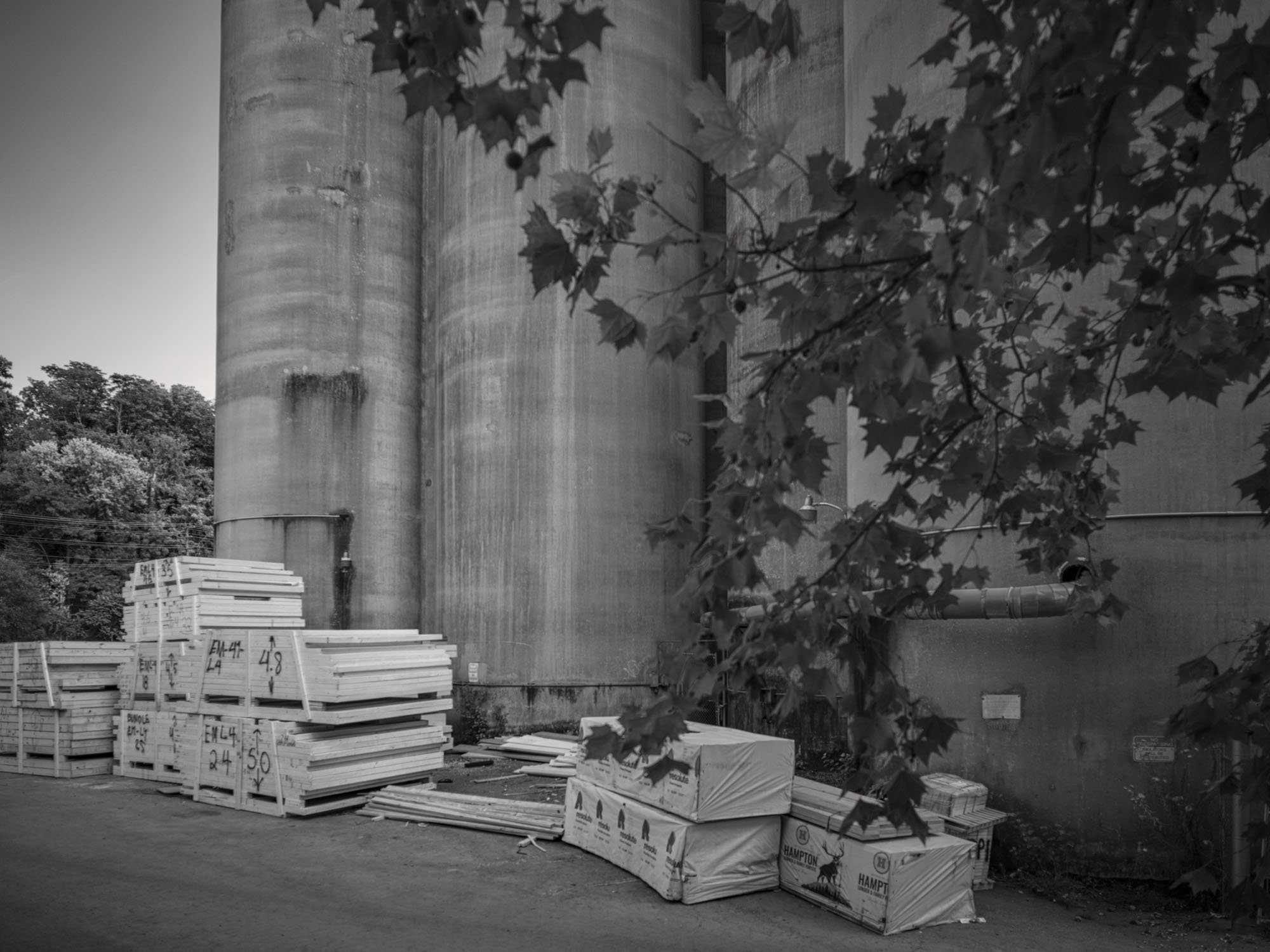
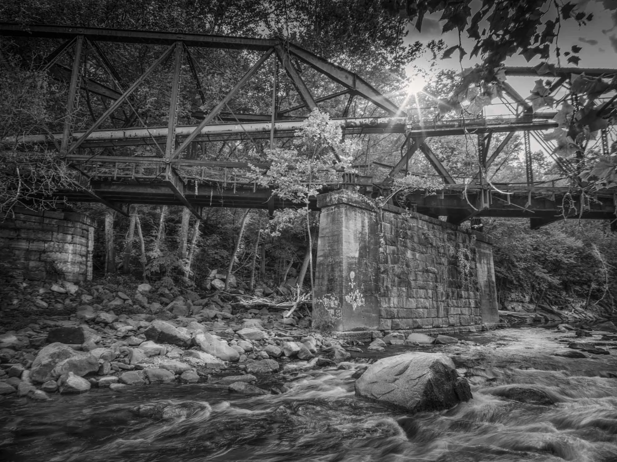
The Fall Line is a photographic investigation of the points where rivers cross the geological boundary between the hard bedrock of the North American Piedmont and the softer sediments of the Atlantic Coastal Plain. At these crossings, changes in geology produced rapids and falls that halted upstream navigation by European colonists. Across the eastern United States, these natural limits fixed the locations of early European colonial transport, trade, and industry. Cities such as Philadelphia, Trenton, Richmond, and Raleigh emerged not by chance, but where geography forced decisions—and in doing so shaped political and economic development. The Fall Line offers a framework to explore how topography influences civic and economic order. It examines how those early geographic constraints continue to structure the American landscape since the era of European colonial expansion and settlement into the present. The Fall Line is both a physical and conceptual threshold: a point where natural forces and human ambition converged. I document what remains of this zone—canals, millraces, portage routes, factory ruins, and abandoned railbeds—and consider how these structures function as evidence of labor, industry, and the persistence of geography. My work grows from a longstanding engagement with land and infrastructure, an experience that shapes my practice to treat landscapes as archives of power, extraction, and settlement. This work is urgent because the physical remnants of the Fall Line are disappearing. Urban expansion, highway development, and neglect are erasing canals, millworks, and early industrial structures. Yet the underlying geography—the drop in the river, the boundary in the stone—remains a quiet but active force, and continues to direct human movement and settlement.